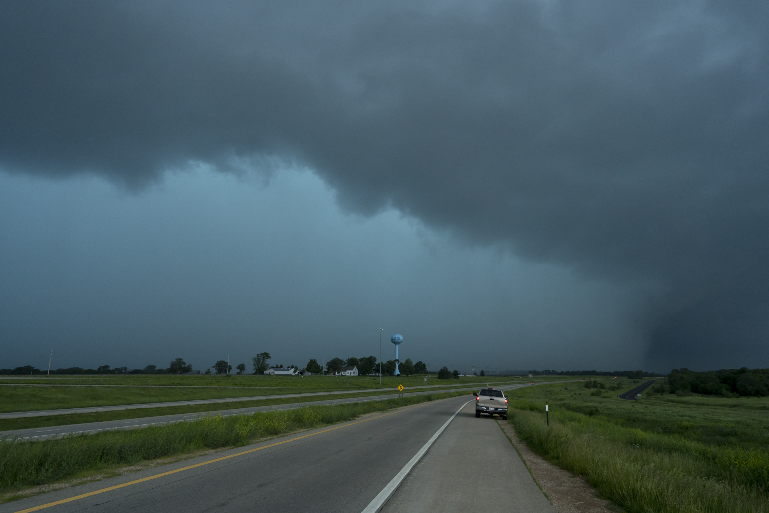
Kirksville, Missouri, received record-breaking rainfall on Tuesday night after an evening storm produced more than 3 inches of rain in only a few hours.
The torrential rain shattered a 20-year daily rainfall record by nearly 2 inches and came amid a bout of heat and humidity that provided fuel for the storms, National Weather Service (NWS) meteorologist Chris Bowman told Newsweek. A severe thunderstorm warning was issued for the area on Tuesday evening, warning of strong winds, heavy rain and hail.
Bowman said that meteorologists anticipate thunderstorms to produce localized heavy rainfall, which occurred right over the Kirksville observation point.

Getty
The NWS office in Kansas City, which services the Kirksville area, posted the rainfall amounts on its X, formerly Twitter, page on Wednesday.
“Our good friends in Kirksville had a stormy evening picking up 3.03″ of rain … destroying their daily rainfall record of 1.19″ set in 2004,” the office said.
Our good friends in Kirksville had a stormy evening picking up 3.03″ of rain…destroying their daily rainfall record of 1.19″ set in 2004.
— NWS Kansas City (@NWSKansasCity) August 28, 2024
Tuesday’s rainstorm produced nearly Kirksville’s entire average monthly rainfall, which is 3.23 inches. As of Wednesday, Kirksville has received 5.59 inches of rain this week.
Despite the heavy rain, flash flooding wasn’t a threat.
“There were no reports of flash flooding,” Bowman said. “It’s been relatively dry so the ground can take a lot of that water, otherwise if the ground was more saturated, it could impose that flash flooding threat.”
Isolated storms could occur across the same area on Wednesday afternoon, although there will be better chances for showers and thunderstorms on Thursday and early Friday morning, Bowman said.
And despite the heat and humidity gripping the region, no temperature records have been broken in the Kansas City forecast area this week, Bowman said.
“It’s been hot, but a lot of our record highs date back to the Dust Bowl days, when it was hot and dry, so we haven’t gotten close to record high temperatures,” he said.
The heat is expected to continue as the week progresses.
“Above normal temps will continue through Thursday with highs in the upper 80s to mid 90s,” NWS Kansas City posted on X. “Heat index values will range between 95 to 102. A cold front will move through the area Thursday night bringing the chance for some strong storms across northern MO and northeast KS.”
Above normal temps will continue through Thursday with highs in the upper 80s to mid 90s. Heat index values will range between 95 to 102. A cold front will move through the area Thursday night bringing the chance for some strong storms across northern MO and northeast KS. pic.twitter.com/EvnxQy6PLn
— NWS Kansas City (@NWSKansasCity) August 28, 2024
NWS Weather Prediction Center meteorologist Marc Chenard previously told Newsweek that heat is expected to be the worst in southern Illinois, Indiana, Ohio, Pennsylvania, Maryland, and Virginia on Wednesday. Multiple heat advisories are in place across the Midwest and eastern U.S., although the heat is expected to dissipate by this weekend.
The NWS Weather Prediction Center also warned that “active thunderstorms will bring the threats of heavy rain, flash flooding and severe weather across the northern Plains tonight and then the upper Midwest Thursday through early Friday.”
👇Follow more 👇
👉 bdphone.com
👉 ultraactivation.com
👉 trainingreferral.com
👉 shaplafood.com
👉 bangladeshi.help
👉 www.forexdhaka.com
👉 uncommunication.com
👉 ultra-sim.com
👉 forexdhaka.com
👉 ultrafxfund.com
👉 ultractivation.com
👉 bdphoneonline.com