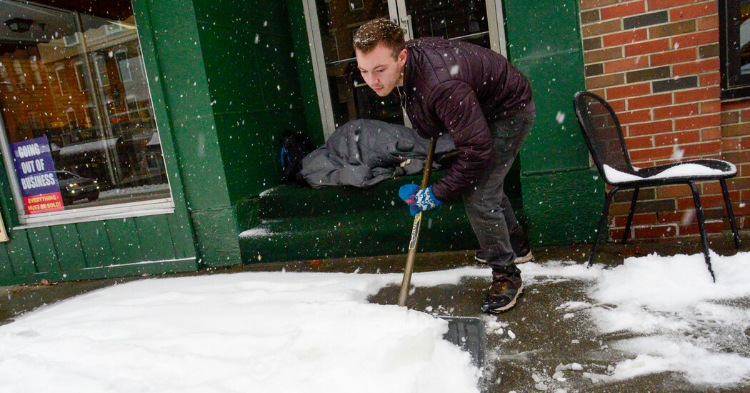
A storm system on Saturday brought heavy rain to the Northeast and heavy snow to parts of New England and Northern New York in a sign that winter was not quite ready to exit.
In Central Park, 3.63 inches of rain had fallen as of 5 p.m. Saturday, said David Stark, a meteorologist with the Weather Service Office in New York.
Philadelphia had 3.06 inches of rain, the wettest calendar day ever recorded in March in the official observing station since 1872, according to the National Weather Service office in Mount Holly, Pa.
The previous daily record for March 23 was 1.36 inches in 2005. For the month of March, the record was 2.79 inches, set on March 15, 1912, the Weather Service said.
In New York City, the heavy rain was expected to taper by Saturday evening, forecasters said. A flood watch for New York City was in effect into early Saturday night, with scattered flash flooding possible.
Minor flooding was likely along small rivers and streams across New Jersey, the Lower Hudson Valley and southern Connecticut into Saturday night, the Weather Service said.
Some areas across New England were hit with heavy snowfall.
Snow started falling in Vermont on Friday, with areas of higher elevation in Windsor and Rutland Counties recording 10 to 17 inches of snow as of Saturday afternoon, said Rebecca Duell, a meteorologist with the Weather Service in Burlington, Vt.
Shrewsbury, Vt., reported 19.3 inches of snow. The city of Burlington had about six inches of snow as of Saturday afternoon, Ms. Duell said. The snow was expected to stop around midnight.
Other parts of the New England also had heavy snowfall. Lovell, Maine, had 13.5 inches and Waterville Valley, N.H., had 17.6 inches, according the Weather Service.
Albany, N.Y., recorded about 2.5 inches of snow as of Saturday afternoon. More than 50 miles north, the Glens Falls area had up to 15 inches of snow as of 2 p.m. on Saturday, said Brian Frugis, a meteorologist for the local Weather Service office. Wilton, N.Y., 43 miles north of Albany, had 18 inches of snowfall.
The region also experienced freezing rain, which caused some branches to fall, leading to power outages in the area, he said.
In New York State, more than 73,000 customers were without power as of Saturday evening, according to PowerOutage.us, a website that tracks power failures.
The border of Massachusetts and New Hampshire had up to two inches of snow by Saturday afternoon, Alan Dunham, a meteorologist with the Weather Service in Boston, said.
A system moving into the Western United States on Saturday was bringing snow from the northern High Plains through the Dakotas, Minnesota and parts of the upper Great Lakes.
Heavy snow will fall across central and eastern Montana by Saturday night and then spread into the North Plains and upper Midwest on Sunday, continuing into Monday. Most of those areas are expected to get six to 12 inches of snow.
One to two feet of snow was forecast in portions of eastern North and South Dakota into western and central Minnesota, said Rich Otto, a meteorologist at the Weather Prediction Center in College Park, Md.
Heavy snow and gusty winds — as high as 50 miles per hour — in the Central and Southern Plains will create hazardous driving conditions late on Saturday and into the early part of the week.
The strong winds and heavy wet snow on trees and power lines may result in tree damage and power outages, the Weather Service said on Saturday.